Adršpach 3D
The rock town
point by point.
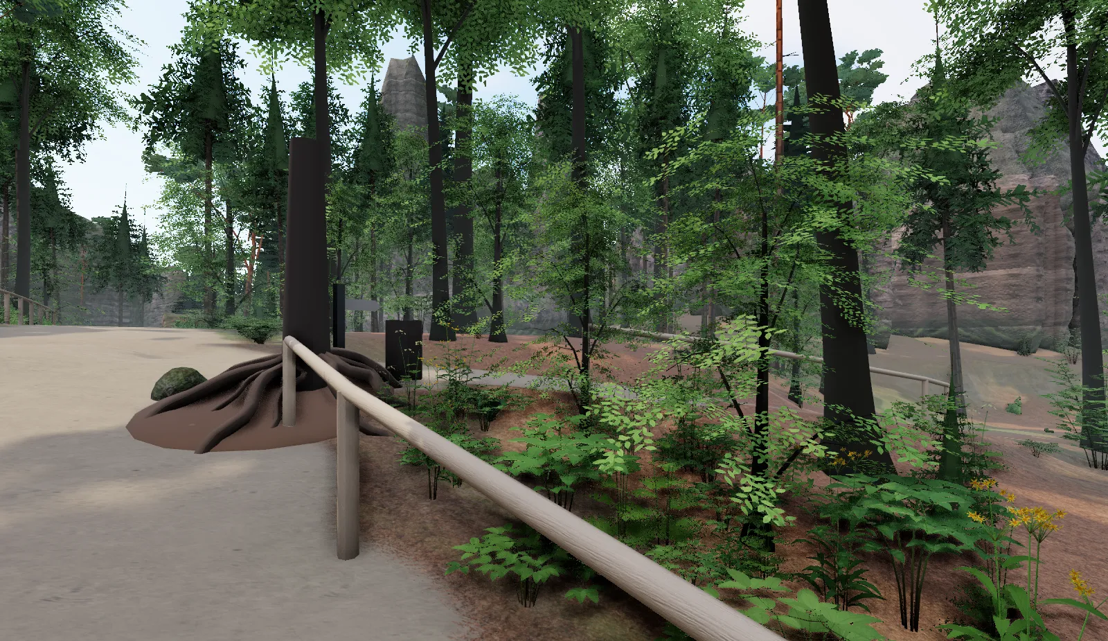
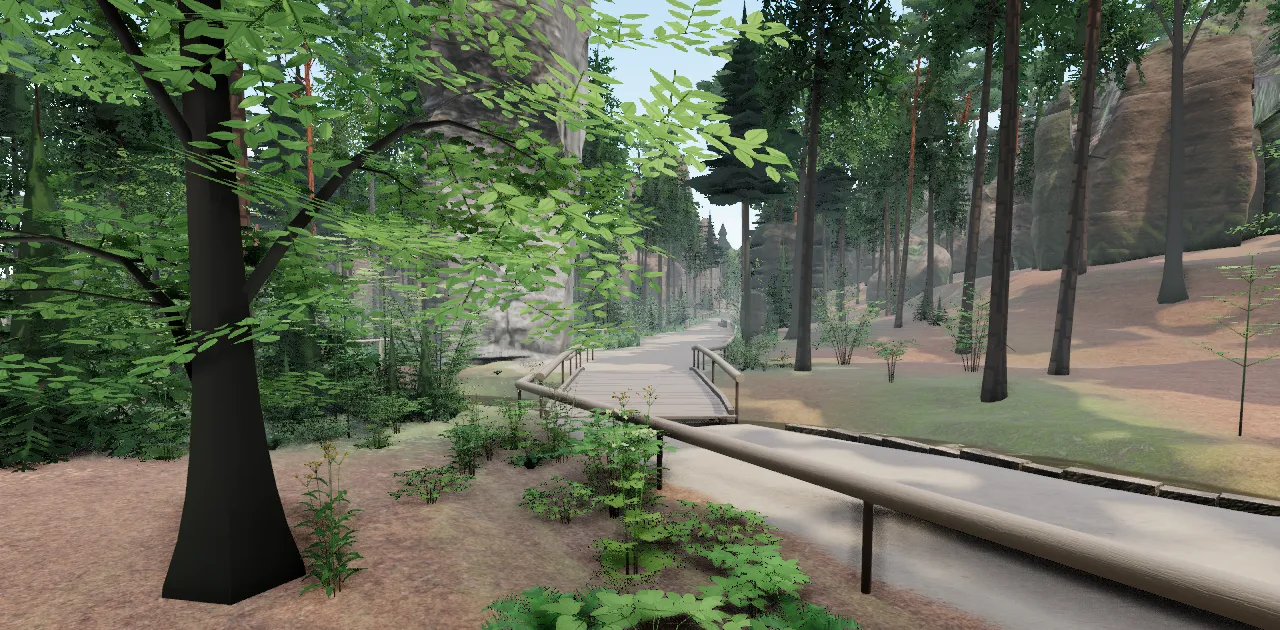
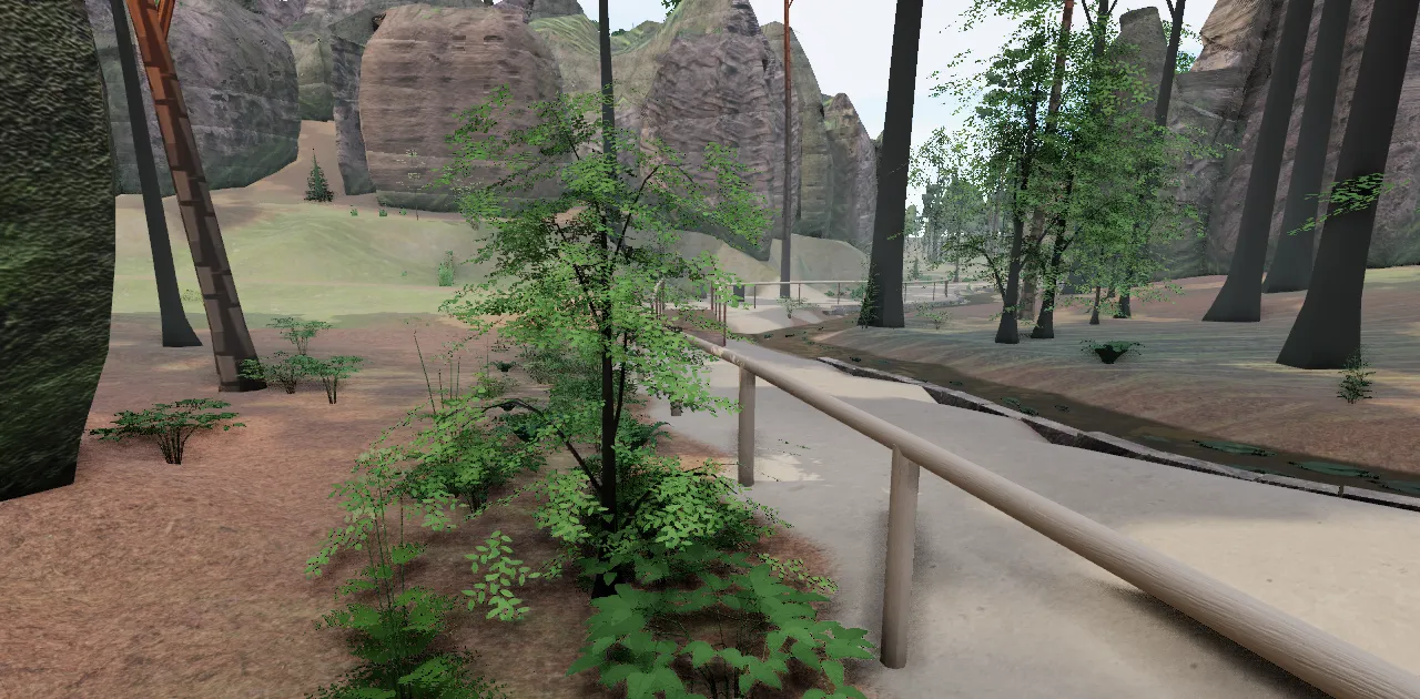
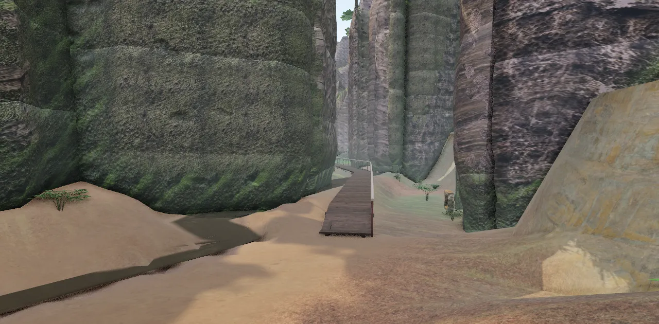
The Adršpach Rocks as a 3D scene in your browser. Built from aerial lidar, map data and hundreds of photos.
- Main circuit 3.2 km
- Pískovna viewpoint loop 1.5 km
0.10 km · entrance
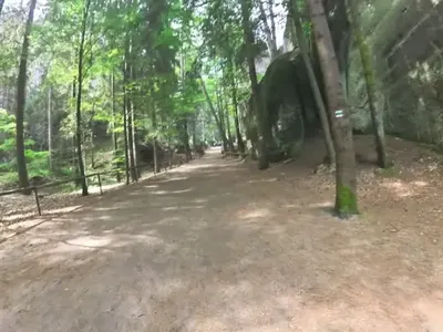
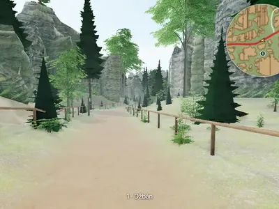
Come for a walk
through the rocks…
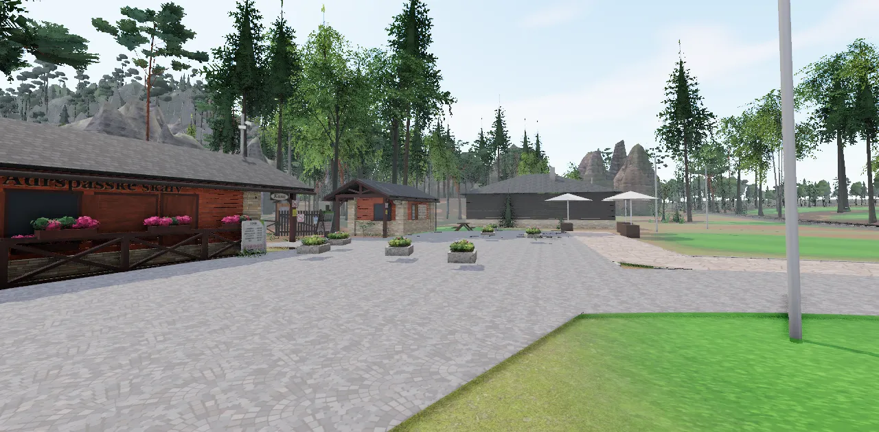
0.17 km · Pískovna
It started
with a point cloud…
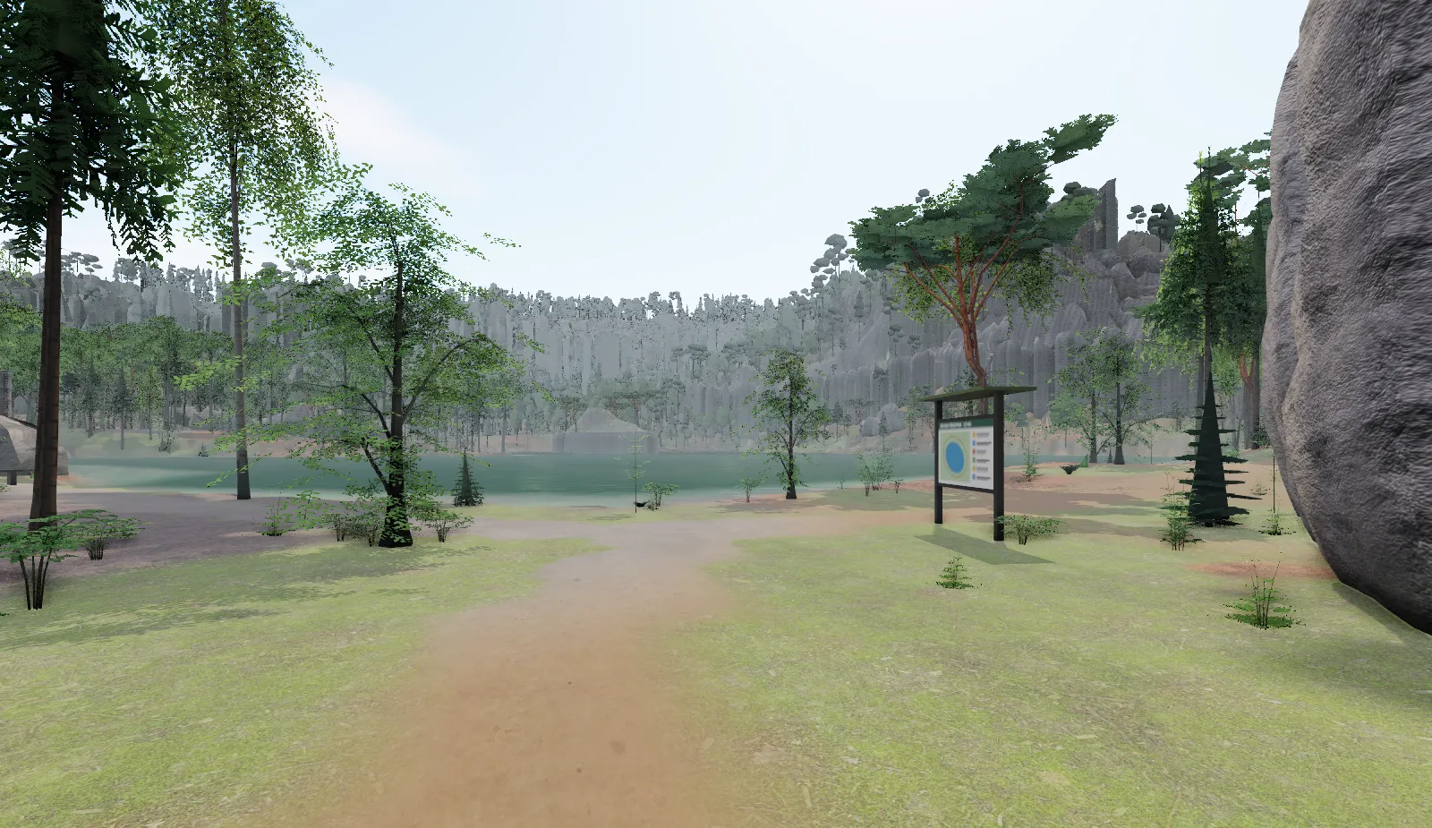
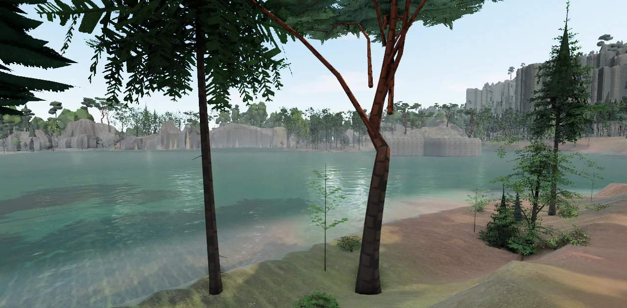
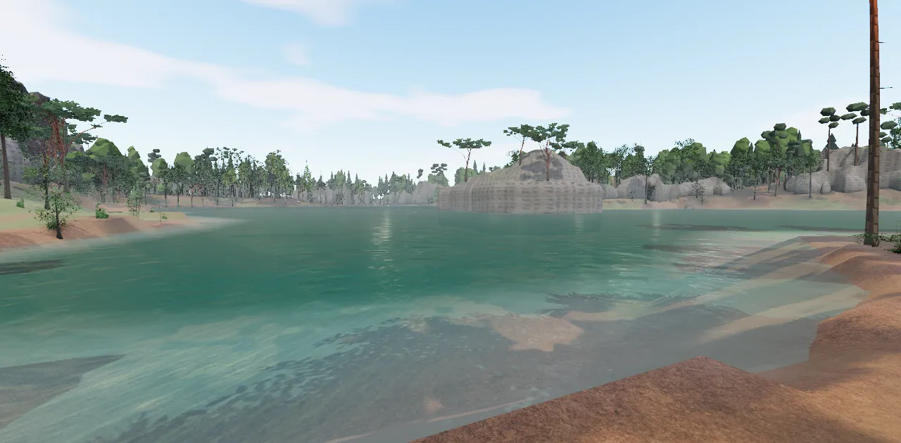
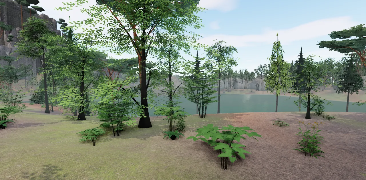
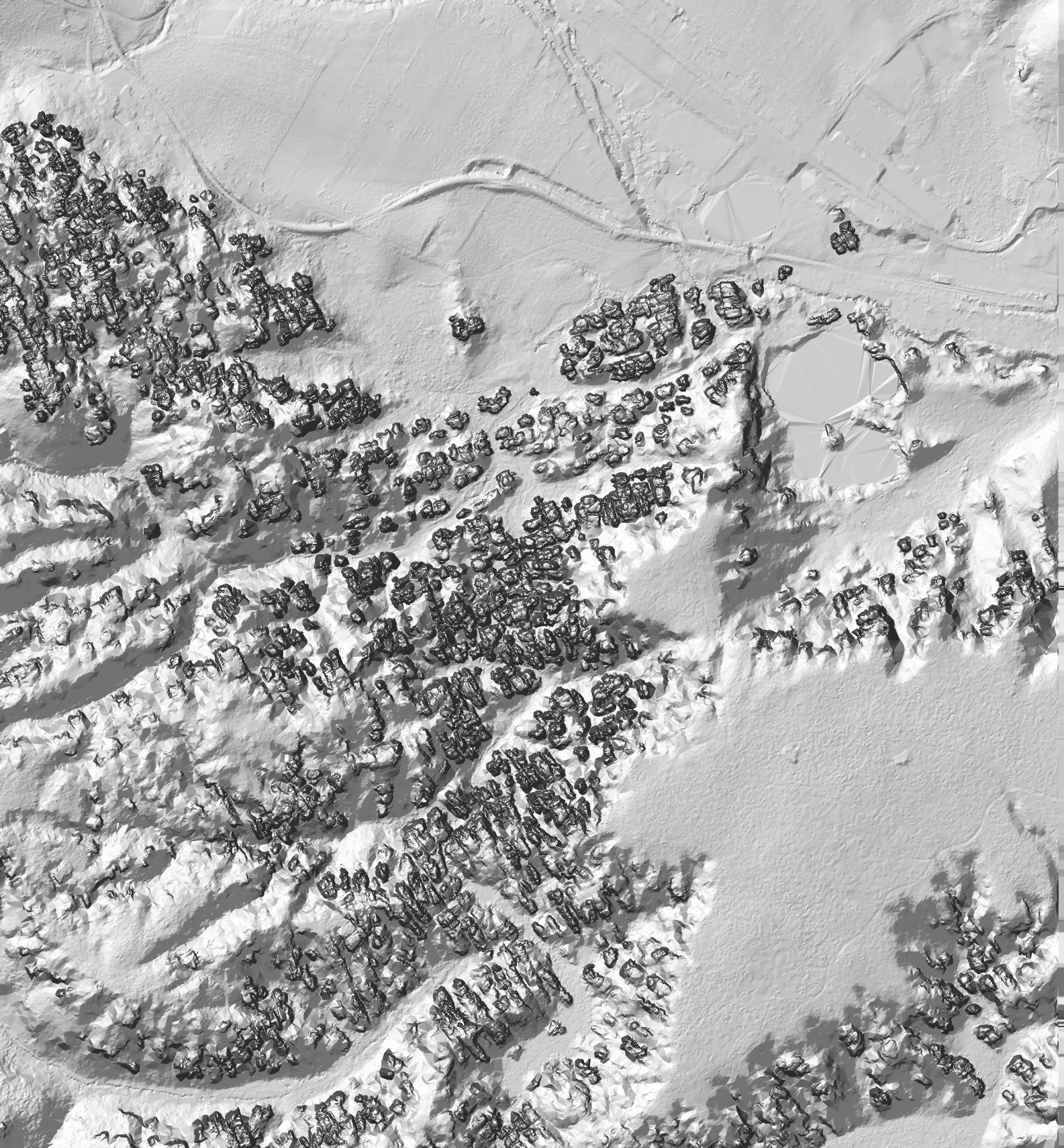
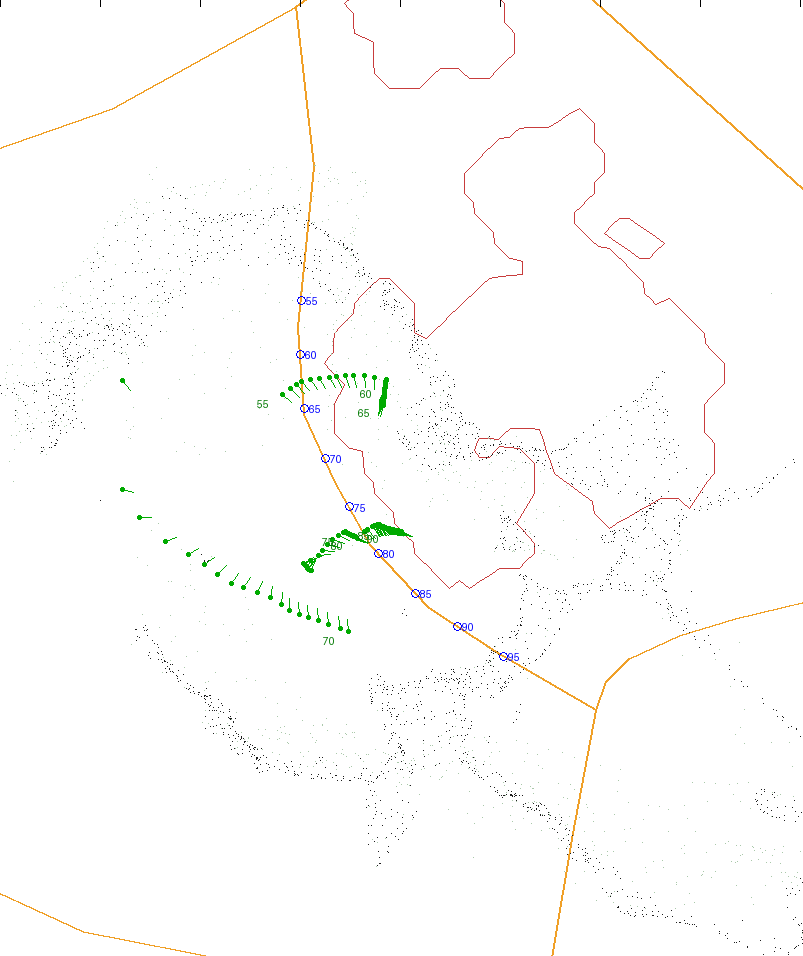
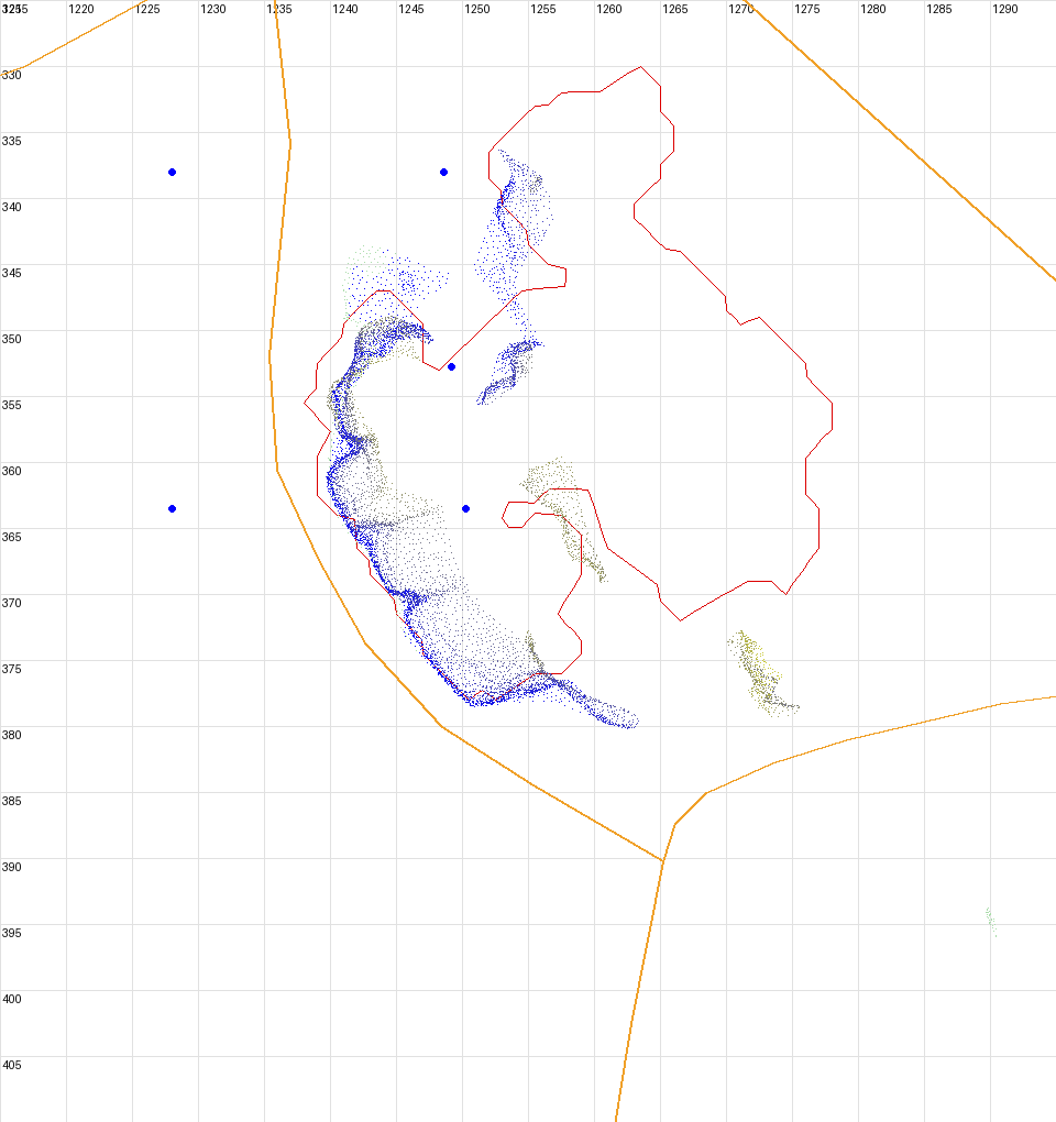
An aircraft of ČÚZK, the Czech surveying office, measured the ground height with a laser at one-metre intervals. 2,708,765 measurements define the terrain and the footprint of every rock tower. A second set, the surface with the tree crowns, tells the scene where the forest grows and how tall it is.
- area
- 1585 × 1709 m
- elevation
- 497–681 m a.s.l.
- coordinates
- S-JTSK → scene coordinates in metres
The data come from the aerial laser scanning of the whole country, carried out by ČÚZK together with the ministries of defence and agriculture. The aircraft flies about 1,200–1,400 m above the terrain, and the laser returns form a cloud of more than one point per square metre. The points that reached the ground make up the terrain model DMR 5G, with a height accuracy of about 18 cm in the open and 30 cm in the forest. The surface model DMP 1G also captures the tree crowns and the tops of the rocks.
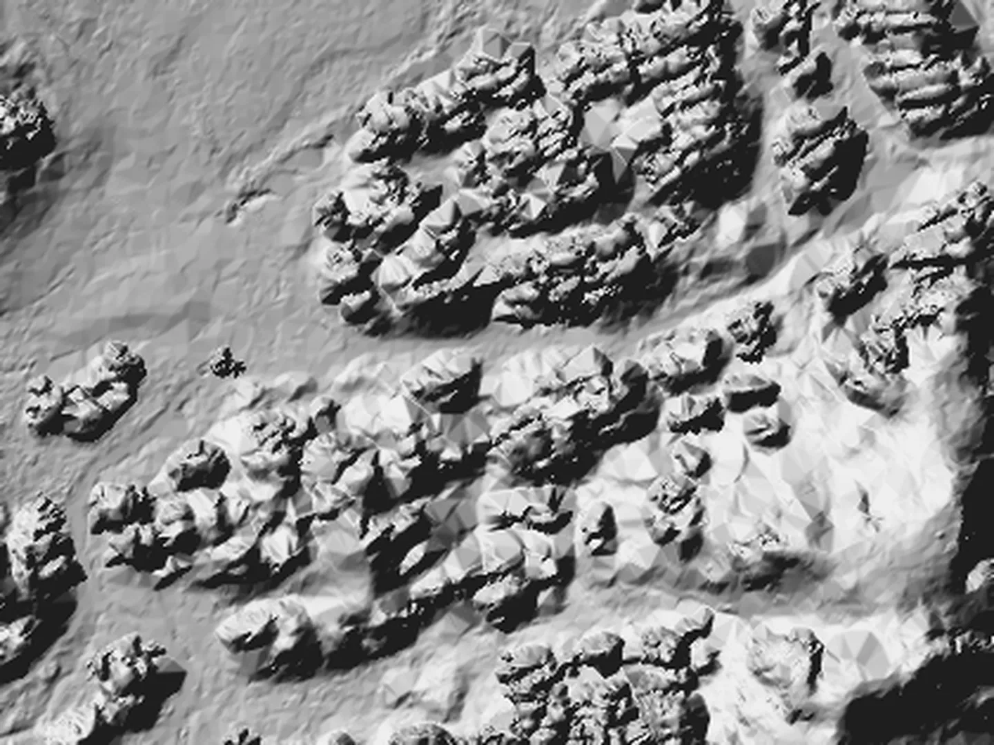
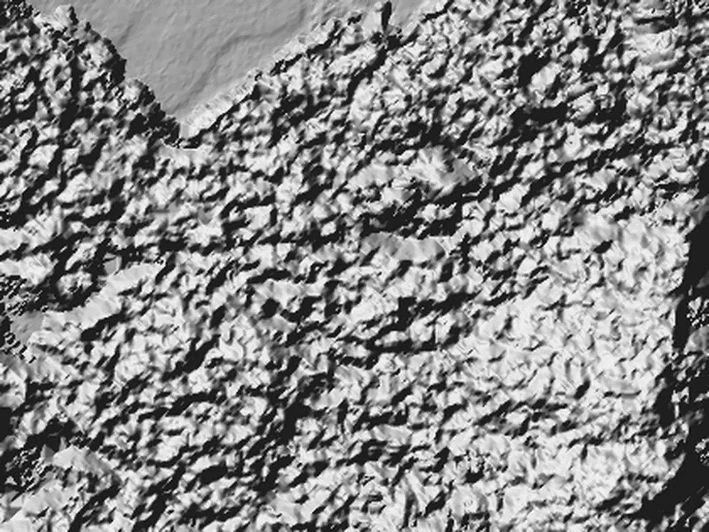 terrain DMR 5Gsurface DMP 1G
Homole cukru
Babiččina lenoška
Džbán
Orlí hnízdo
Stráže
The same place twice, 420 × 315 m around Džbán and Homole cukru. On the left only the points that reached the ground: every rock tower stands out. On the right the first laser returns, that is the tree crowns above them. The difference between the two models gives the forest height, which decides where the scene places its trees.
0.34 km · forest below Džbán
Map data
from OpenStreetMap.
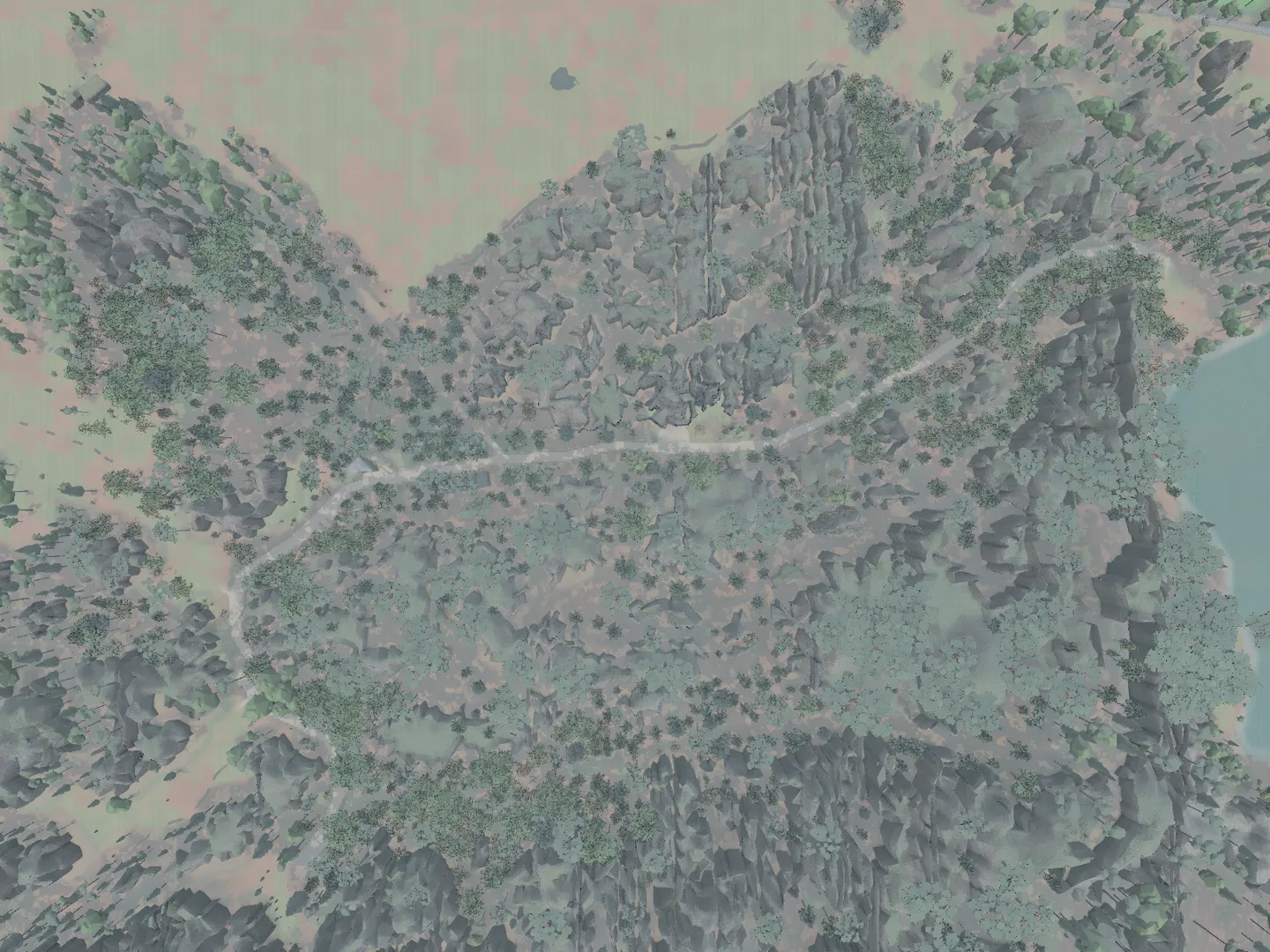
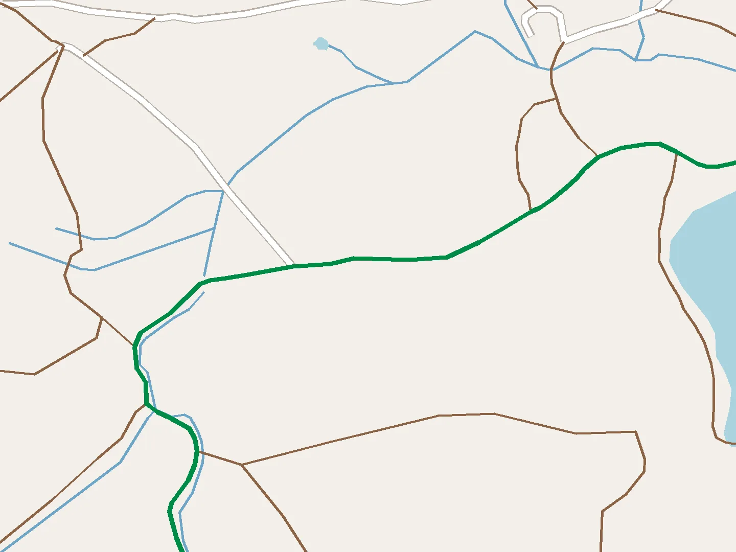 scene from aboveOpenStreetMap
Homole cukru
Babiččina lenoška
Džbán
Orlí hnízdo
Stráže
OpenStreetMap is an open map of the world drawn by volunteers. From it we take the marked trails, paths, steps, boardwalks, streams and bodies of water. That is why the trail in the scene fits the real terrain exactly.
0.40 km · Džbán
Nobody photographs
the foot of Džbán.
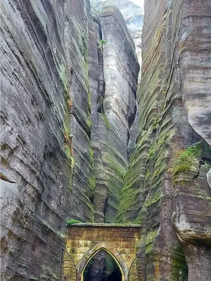
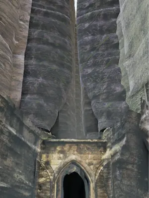
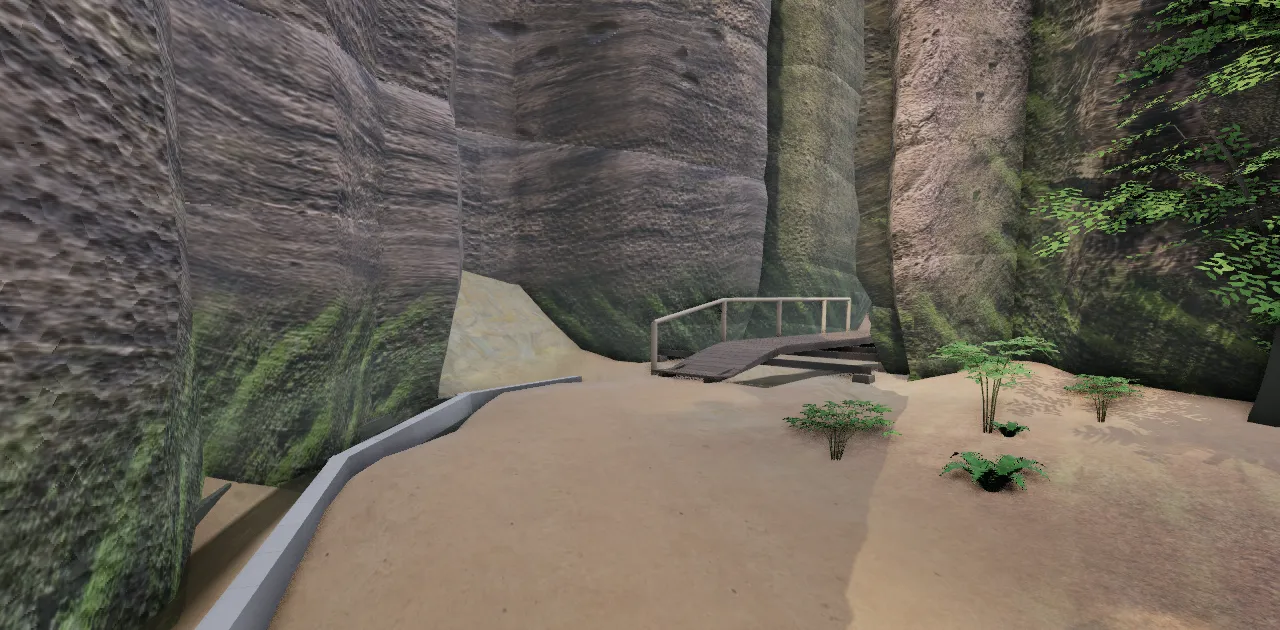
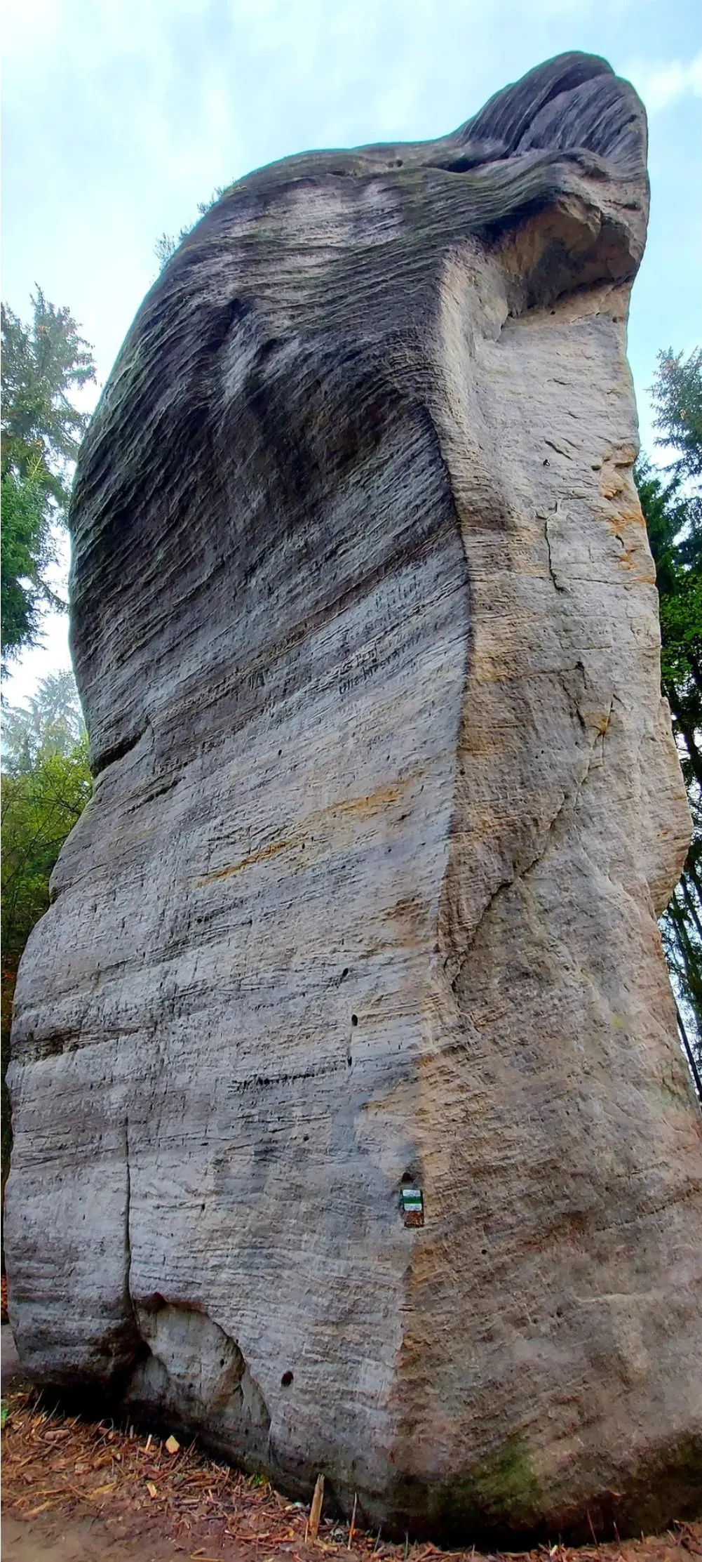
We have hundreds of photos of Gotická branka, the Gothic Gate, from the front. The scene needs what nobody photographs: the bases of the towers, stones by the path, the sides facing away and views upwards. 5–10 photos from one spot are enough.
- Planetárium with Indián south and east side from the meadow
- Trdlo, Wihanova, Televizní věž the walls of the passage and the view up
- Foot of Džbán the honeycomb weathering and the boulder at its foot
- The cleft behind Gotická branka left and right wall from the boardwalk
- Čertův most the top of the arch against the sky
- Bust of J. W. Goethe close up from 3–4 sides
- Starosta the back of the head, from the foot upwards
Let us know: support@adrspach3d.cz
0.54 km · Homole cukru
Rocks
from photos.
 scenephoto
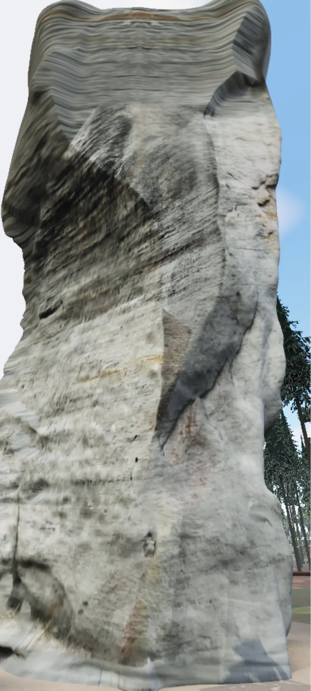
A laser from above misses vertical walls. So we build the key towers with photogrammetry from photos and 4K video frames: hundreds of shots processed on our own graphics card, textures up to 4K.
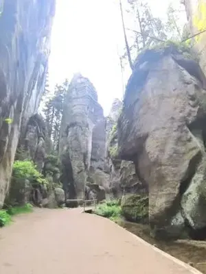
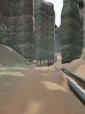
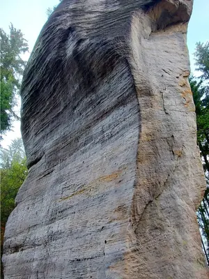
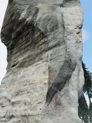
Move the line: the scene on the left, a photo from the same spot on the right.
from the workshop
Details
matter.
We compare every rock formation with a photo of it.

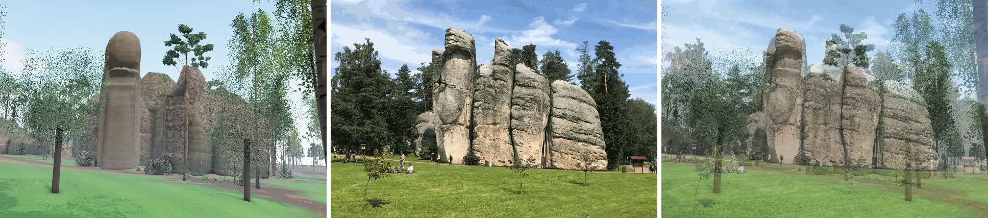
A scene render and a photo from the same spot are laid over each other. Where the outlines do not match, we move the tower, the camera or the photogrammetric model. For photos and videos alike, we first find out exactly where the photographer or the camera stood.
0.71 km · Soutok
The rest
we finish by hand.
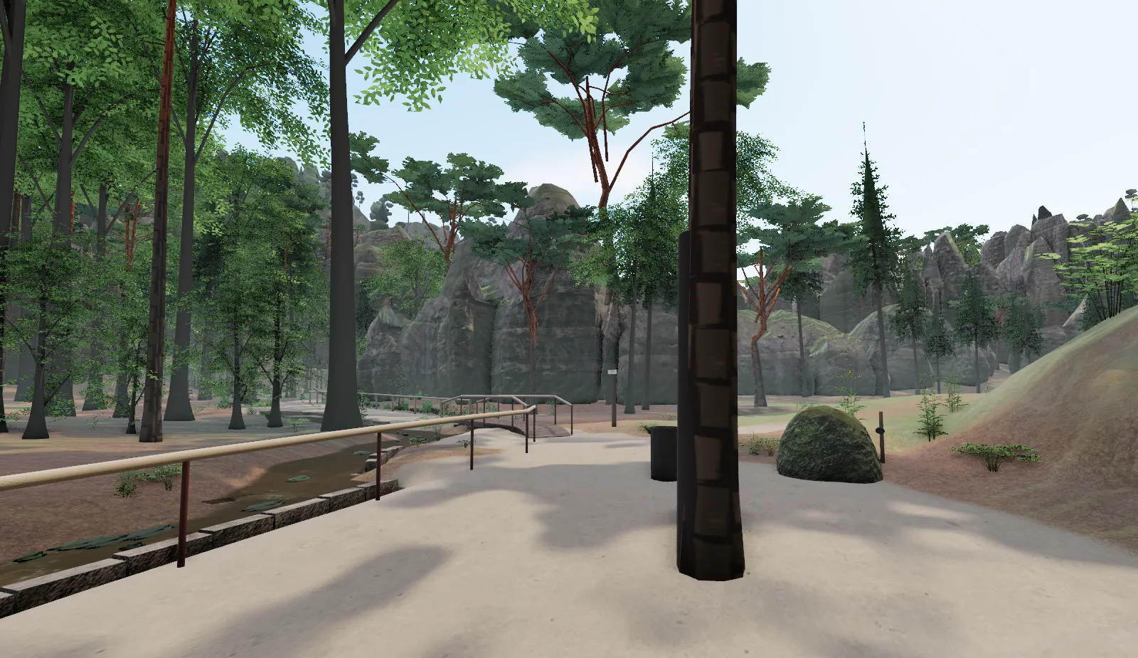
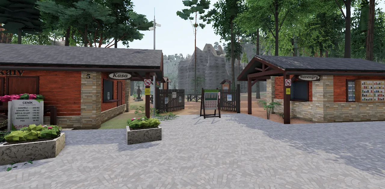
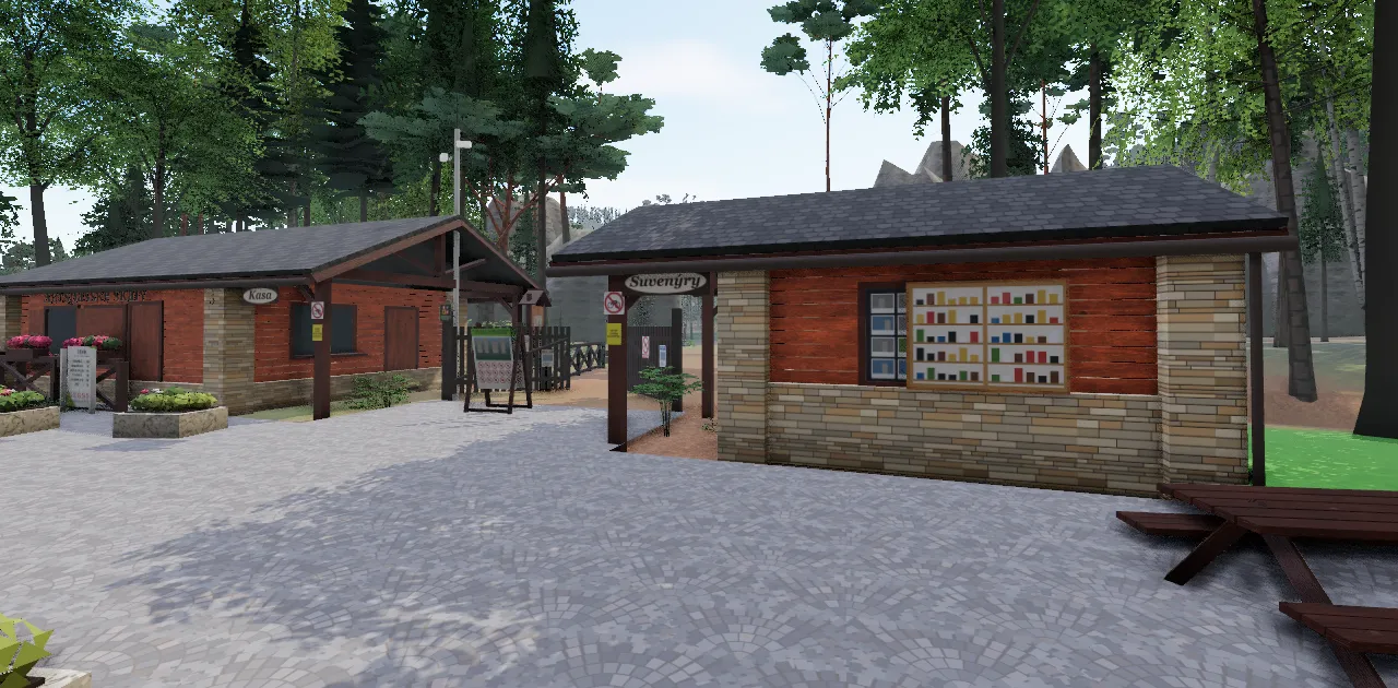
Towers without photos are modelled procedurally: sandstone with horizontal bedding, shaped by the lidar. Railings, boardwalks, kerbs and signs are made by hand from photos of each spot.
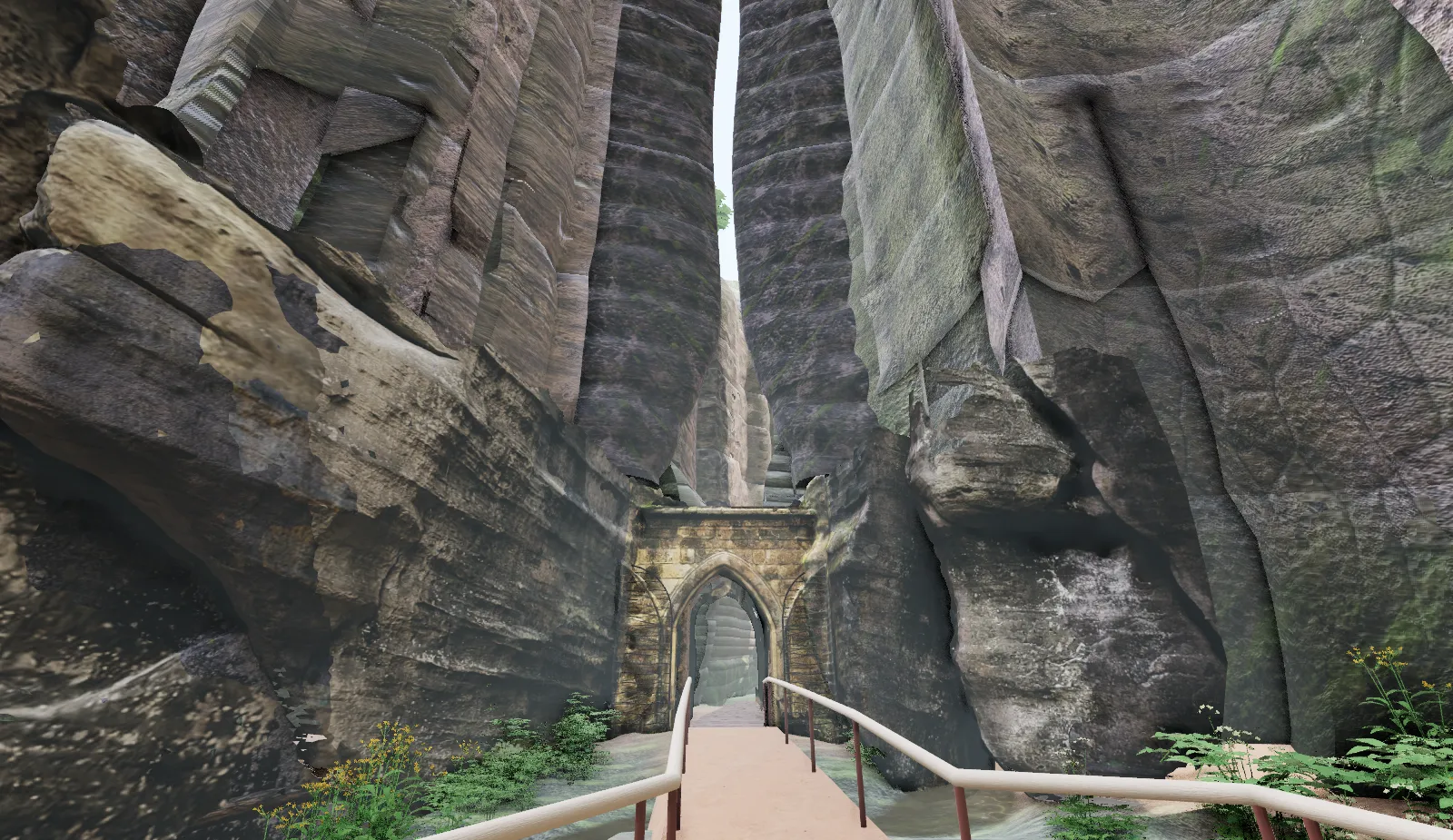
0.885 km · Gotická branka
From here
on foot.
Come and see it →
tickets, opening hours and getting there: adrspasskeskaly.cz
future plans
What’s next…
- in progressAdršpach Rocksthe whole circuit
- plannedVlčí roklethe path through the gorge, a peat bog
- plannedTeplice Rocksa circuit through the rocks
support
No ads, no cookies.
Supporters pay for the server and for the work on further sections.
Support the project →
buymeacoffee.com/mcharvat
Questions, ideas, photos: support@adrspach3d.cz
sources
- Elevation
- © ČÚZK, DMR 5G and DMP 1G, open data
- Map data
- © OpenStreetMap contributors, ODbL licence
- Textures
- ambientCG, CC0: Rock052, Rock055, Moss002, Ground037, Ground077, Ground078, Wood062
- Ambient light
- Poly Haven, HDRI forest_slope (Greg Zaal), CC0
- Bust of J. W. Goethe
- 3D scan by Oliver Laric, threedscans.com, CC0
- Photos
- the author’s own photos and photos from Wikimedia Commons
- Software
- Three.js, Vite, COLMAP, OpenMVS
- Fonts
- Bricolage Grotesque, DM Mono, SIL Open Font License
Adršpach Rocks: adrspasskeskaly.cz · Instagram @adrspasskeskaly